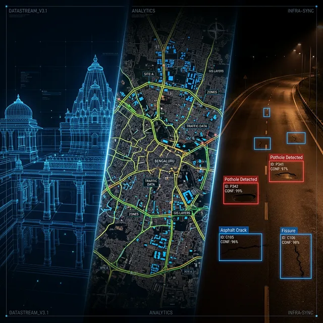
We Engineer Certainty.
We bring together over 70 years of engineering and geospatial expertise. Our team works to a single standard of precision for projects that can't afford mistakes.
Who We Are
Founded in 2021, our team brings over 70 years of combined experience to spatial engineering and civil infrastructure. We work at the intersection of heavy civil engineering and advanced data science.
We are a digital engineering and spatial technology partner. Our team delivers core infrastructure solutions for highways, dams, and municipal networks across India.
Our Journey
Deployed standardized AI asset registries across municipal water and road networks.
Spearheaded advanced GIS projects and spatial intelligence for Smart City initiatives.
Executed large-scale UAV and Drone mapping for the Jal Jeevan Mission (JJM) water infrastructure schemes.
Pioneered early integration and analysis of high-resolution Satellite Imagery Data.
Gesix Solutions Founded.
Company at a glance
- Legal entity
- Gesix Solutions Private Limited
- Incorporated
- February 2021, Bengaluru, Karnataka, India
- Registered office
- #104/22, 3rd Floor, 6th Cross, KHB Colony, 2nd Stage, Basaveshwarnagar, Bengaluru 560079
- What we do
- Reality capture (terrestrial and UAV LiDAR, photogrammetry), Scan-to-BIM and digital twins, civil and geospatial engineering
- Software products
- GeoSurveyAI (AI road survey), City Level Asset Management System (road, water and drainage asset registers), Geo AI Solutions (custom spatial deep learning)
- Standards we work to
- IRC:82-2023, IRC:67, IRC:SP:16, IRC:SP:99, IFC 4.0 and LOD 300–400, UNESCO/ICOMOS guidance for heritage documentation
- Field equipment
- FARO Focus S350 terrestrial laser scanner (TLS), RTK GNSS, DGCA-certified UAV operations
- Contact
- [email protected], +91 84315 27304
Not a vendor. A Strategic Partner.
We partner with you through the entire building lifecycle, from the first design plans to the final operational data.
Design
Survey-grade spatial data informing every design decision from day one.
Construction
As-built verification and progress monitoring with millimeter-level accuracy.
Operation
Digital twin feeds live asset management: infrastructure that knows itself.
Maintenance
Predictive AI models flag degradation before it becomes failure.
Built on Deep Expertise.
Precision First
Every point cloud, topographic map, and algorithmic model meets exact municipal tolerances and strict civil engineering requirements.
AI Integration
We pair decades of traditional surveying expertise with machine learning techniques for automated asset lifecycle monitoring.
Lifecycle Partner
From initial reconnaissance surveys to digital twin handovers, we manage the entire engineering pipeline, not just the scan.
Domain Expertise
Unified expertise across civil engineering, geospatial science, and advanced software engineering, one team covering the full pipeline.
Ready to Partner with Gesix Solutions?
Reach out to discuss your next infrastructure project.